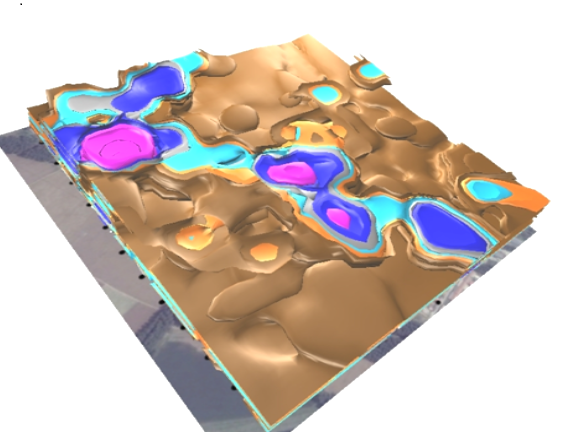
Geo9 pioneered the application of a nimble 3D multidata geophysical technique to map the extent of contaminated plumes and saline intrusion into fresh groundwater. In 2015 we conducted a world-first demonstration project for the Chinese Academy of Environmental Planning that mapped paleochannels and differentiated dense and light NAPL flowpaths in 3D using only seismoelectric geophysical data.